
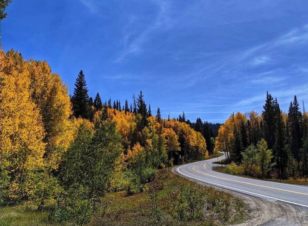
Grand Mesa Scenic Byway
Drive the world's largest flat-topped mountain on this 63-mile scenic byway, boasting over 300 lakes and vibrant fall colors.
Highlights
Must-see attractions

Social
From TikTok & Reddit
Best Time
Peak fall colors ignite the aspens.
Grand Mesa Scenic Byway
Best Time
Peak fall colors ignite the aspens.
Highlights
Must-see attractions
Drive the world's largest flat-topped mountain on this 63-mile scenic byway, boasting over 300 lakes and vibrant fall colors.

Check Road Conditions First
Higher sections can close due to snow from Oct-May. Always check before you go! :snow_cloud:
Pack for All Weather
Mountain weather changes fast! Bring layers, even in summer. ☁️

Quick Facts
Highlights
Discover the most iconic attractions and experiences
Grand Mesa Scenic Byway Drive
Colorado State Highway 65
A 63-mile journey through aspen groves, past pristine lakes, and to breathtaking overlooks. A true Colorado road trip.
Crag Crest Trail
Grand Mesa National Forest
An iconic 11-mile ridge hike offering 360-degree views above the clouds. A must for serious hikers.
Mesa Lakes
Grand Mesa National Forest
A cluster of beautiful lakes perfect for fishing, picnicking, or a short, scenic walk.
Plans like a pro.
Thinks like you
Planning Your Visit
Timing Your Grand Mesa Drive
Prepare for Elevation
Best Times
Insider Tips
from TikTok, Instagram & Reddit
Check Road Conditions First
Higher sections can close due to snow from Oct-May. Always check before you go! :snow_cloud:
Pack for All Weather
Mountain weather changes fast! Bring layers, even in summer. ☁️
Fuel Up Before You Go
Services are limited on the byway. Fill your tank in Palisade or Cedaredge. :fuel_pump:
Embrace the Winding Roads
The byway is 63 miles of curves. Motorcyclists and RVs enjoy it, but drive mindfully. 🏍️
Tips
from all over the internet
Check Road Conditions First
Higher sections can close due to snow from Oct-May. Always check before you go! :snow_cloud:
Pack for All Weather
Mountain weather changes fast! Bring layers, even in summer. ☁️
Fuel Up Before You Go
Services are limited on the byway. Fill your tank in Palisade or Cedaredge. :fuel_pump:
Embrace the Winding Roads
The byway is 63 miles of curves. Motorcyclists and RVs enjoy it, but drive mindfully. 🏍️
Download Offline Maps
Cell service can be spotty. Ensure you have your route downloaded. :iphone:
What Travellers Say
Reviews Summary
Visitors rave about the breathtaking beauty of the Grand Mesa Scenic Byway, especially during the fall when the aspen trees are ablaze with color. The sheer scale of the world's largest flat-topped mountain and the abundance of lakes and trails are consistently praised. Some travelers note the limited services and the winding nature of the road, advising preparedness.
What People Like
What People Dislike
Frequently Asked Questions
🚇 🗺️ Getting There
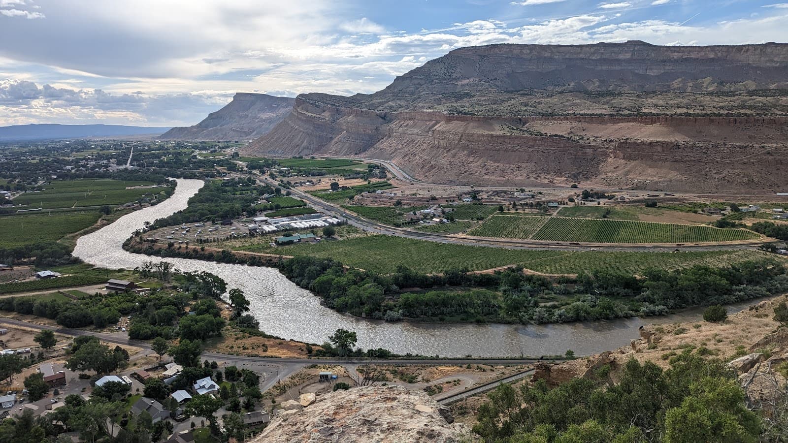
The Grand Mesa Scenic Byway (Colorado State Highway 65) can be accessed from I-70. The western end is near Palisade (Exit 49), and the eastern end is near Cedaredge. Many visitors start in Palisade and drive up through the canyon.
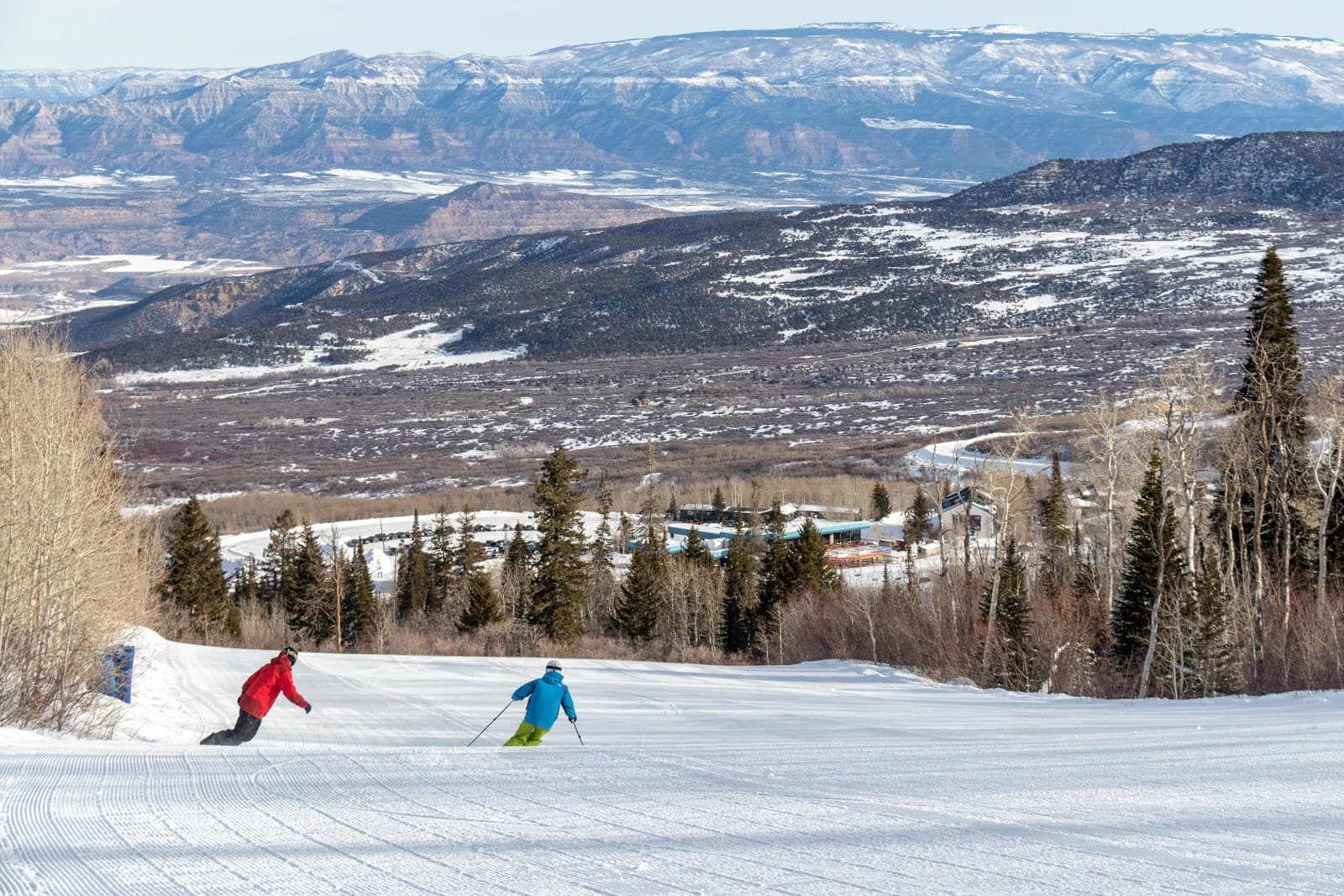
No, the byway is not open year-round. Higher elevations are subject to snow and can be closed from late October through May. Always check current road conditions before your trip.
Many travelers recommend driving from Palisade towards Cedaredge to experience the gradual ascent and stunning canyon views. However, the drive is beautiful in either direction.
The byway is 63 miles long. While you can drive it in about 1.5-2 hours without stops, most visitors spend 3-5 hours or even a full day to enjoy the overlooks, short hikes, and lakes.
Yes, people do tow trailers and drive RVs on the Grand Mesa Scenic Byway. However, the road is winding with many curves, so drivers should be mindful and drive cautiously.
🎫 🎫 Tickets & Entry
No, there are no tickets or fees required to drive the Grand Mesa Scenic Byway itself. It's a public highway. However, some trailheads or picnic areas within the Grand Mesa National Forest might have day-use fees.
The byway is a public road and is generally accessible during daylight hours when not closed due to snow. The Grand Mesa National Forest surrounding it has specific operating hours for visitor centers and campgrounds.
While driving the scenic byway is free, there may be fees for specific activities or facilities within the Grand Mesa National Forest, such as developed campgrounds or day-use areas. Check with the Forest Service for details.
Since the byway itself doesn't require tickets, this question is more relevant for nearby attractions. For popular activities like guided tours or specific events in nearby towns like Palisade or Grand Junction, booking in advance, especially during peak season, is recommended.
Yes, you can find a Grand Mesa Scenic Byway map online through official tourism websites or the US Forest Service. Downloading an offline map on your phone is also highly recommended due to limited cell service.
🎫 🏞️ Onsite Experience
Key viewpoints include the numerous overlooks offering panoramic vistas, especially during fall. The area around Mesa Lakes also provides stunning scenery. Many short trails lead to beautiful spots.
Absolutely! The Grand Mesa National Forest boasts numerous hiking trails, from short nature walks to challenging treks like the Crag Crest Trail. Trails are accessible from various points along the byway.
You might spot deer, elk, various bird species, and smaller mammals. Keep an eye out, especially during dawn and dusk. Remember to observe wildlife from a safe distance.
Yes, the numerous lakes on Grand Mesa are popular for fishing. You'll need a valid Colorado fishing license. Popular spots include the Mesa Lakes area.
Yes, there are several campgrounds within the Grand Mesa National Forest, many of which are accessible from the byway. Some are first-come, first-served, while others can be reserved. Campendium is a great resource for finding them.
🍽️ 🍽️ Food & Dining
Dining options are very limited directly on the byway. It's best to pack a picnic or plan to eat in Palisade before you ascend or in Cedaredge after you descend. Some campgrounds may have basic services.
There are many designated picnic areas and pull-offs with stunning views along the byway. The areas around Mesa Lakes are particularly scenic and well-suited for a picnic lunch.
Services are scarce. It's highly recommended to bring all your food and drinks with you. There are no major grocery stores or extensive restaurant facilities on the mesa itself.
Palisade offers a variety of dining experiences, from wineries with food pairings to casual eateries. If you're planning a trip around Peche, you'll find excellent farm-to-table options there.
It's unlikely to find regular food trucks operating directly on the byway. Your best bet for unique food experiences would be in the gateway towns of Palisade or Grand Junction.
📸 📸 Photography
Golden hour, just after sunrise and before sunset, offers the most dramatic light for landscape photography. Fall colors in September and October are spectacular for photographers.
The aspen groves, especially when in fall color, are incredibly photogenic. Overlooks with expansive mountain views and the serene lakes like Mesa Lakes are also prime photography locations.
For personal photography, no special permit is typically required. However, if you plan on commercial photography or videography, or using drones, you may need to check with the Grand Mesa National Forest for regulations and permits.
A wide-angle lens is great for capturing the vast landscapes, while a telephoto lens can be useful for wildlife. A tripod is helpful for low-light conditions or capturing long exposures of lakes.
While dedicated photography tours might be rare, local tour operators in Grand Junction or Palisade might offer scenic drives that cater to photographers. It's worth inquiring with local tourism boards.


Social
from TikTok, Instagram & Reddit