
Camp Chase Trail
A scenic, paved trail perfect for cycling, connecting to major routes and offering a glimpse into Ohio's history.

Highlights
Must-see attractions

Social
From TikTok & Reddit
Best Time
Pleasant temperatures, fewer crowds
Camp Chase Trail
Best Time
Pleasant temperatures, fewer crowds
Highlights
Must-see attractions
A scenic, paved trail perfect for cycling, connecting to major routes and offering a glimpse into Ohio's history.
"Fantastic trail - very flat and straight and through some very beautiful rural areas and historic towns."

☀️ Sun Protection Needed
Trail is mostly open and sunny; bring sunscreen, a hat, and sunglasses for comfort.
🚴♂️ Ideal for Cycling
Paved and flat, perfect for biking. Less shade for walking or jogging.

Highlights
Discover the most iconic attractions and experiences
Historic Railroad Path
Entire length of the trail
Follows an active railroad, offering a unique glimpse into transportation history.

Rural Scenery
Sections between towns
Enjoy picturesque rural landscapes and charming historic towns along the way.

Ohio to Erie Trail Connector
Connects to Ohio to Erie Trail
A vital link in the Ohio to Erie Trail and U.S. Bicycle Route 50.
Plans like a pro.
Thinks like you
Planning Your Visit
Trail Etiquette & Safety
Best Time for Cycling
Best Times
Insider Tips
from TikTok, Instagram & Reddit
☀️ Sun Protection Needed
Trail is mostly open and sunny; bring sunscreen, a hat, and sunglasses for comfort.
🚴♂️ Ideal for Cycling
Paved and flat, perfect for biking. Less shade for walking or jogging.
🔗 Connects to Other Trails
Part of the Ohio to Erie Trail and U.S. Bicycle Route 50.
🗺️ Easy to Navigate
Mostly straight and flat, making it hard to get lost.
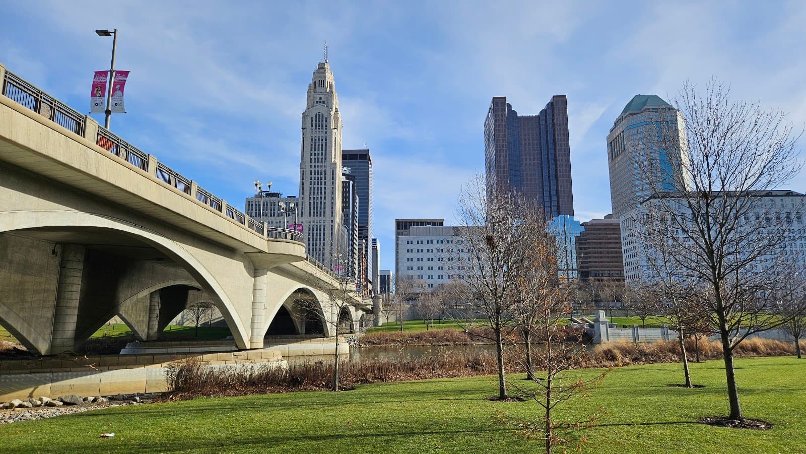
Wilson Road Park - Camp Chase trail
Tips
from all over the internet
☀️ Sun Protection Needed
Trail is mostly open and sunny; bring sunscreen, a hat, and sunglasses for comfort.
🚴♂️ Ideal for Cycling
Paved and flat, perfect for biking. Less shade for walking or jogging.
🔗 Connects to Other Trails
Part of the Ohio to Erie Trail and U.S. Bicycle Route 50.
🗺️ Easy to Navigate
Mostly straight and flat, making it hard to get lost.
What Travellers Say
Reviews Summary
Visitors praise the Camp Chase Trail for its excellent paved surface, making it ideal for cycling. Its flat, straight path and connection to major trail networks are significant draws. However, the lack of shade can make it less comfortable for walking or jogging during peak sun hours.
"This is a great bicycle trail"
Dave S
"This is a fantastic trail - very flat and straight (hard to get lost!) and through some very beautiful rural areas and historic towns. The trail is mostly open and in the sun - so probably better for cycling than walking or jogging."
Ely Margolis
"Nice paved trail going into the West side of Columbus"
Alan Bell
What People Like
What People Dislike
Frequently Asked Questions
🚇 🗺️ Getting There
The Camp Chase Trail can be accessed from various points, including Patel Derby Creek Metro Park. It also connects to the Olentangy River path, though some users note a connector is needed.
Parking is available at trailheads and metro parks along the route, such as Patel Derby Creek Metro Park.
Yes, the Camp Chase Trail is a key part of the Central Ohio Greenways network and connects to other trails like the Ohio to Erie Trail and U.S. Bicycle Route 50. +1
You can access the trail from the west side of Columbus. Consider using a navigation app to find the closest trailhead to your starting point.
The Indian Ridge Picnic Area at Patel Derby Creek Metro Park is a popular access point, offering a good starting point for a round trip.
🎫 🎫 Tickets & Entry
No, the Camp Chase Trail is a public park and does not require tickets or admission fees for use.
As a public trail, it is generally accessible from dawn to dusk. Specific park hours may apply to adjacent metro parks.
Parking at most trailheads and metro parks along the Camp Chase Trail is free.
No, the trail is open to the public on a first-come, first-served basis.
No permits are required for general use of the Camp Chase Trail.
🎫 🧭 Onsite Experience
The Camp Chase Trail is a paved trail, making it smooth and ideal for cycling.
While paved, the trail is mostly open and sunny with limited shade, making it better suited for cycling than extended walking or jogging.
The Camp Chase Trail is approximately 12.5 miles long, running from Madison County to Columbus.
Restrooms are typically available at metro park access points and designated picnic areas along the trail.
The trail is generally considered safe, especially during daylight hours when it's more populated. It's always wise to be aware of your surroundings.
📸 📸 Photography
Look for scenic rural vistas, historic markers, and the unique railroad features. The connection points to other trails also offer good photo opportunities. +1
While primarily a paved trail, you might spot birds or small mammals in the surrounding rural areas. Early mornings or late evenings can be best for wildlife viewing.
The golden hours of sunrise and sunset offer beautiful lighting for the open, sunny sections of the trail.
The trail's namesake, Camp Chase, and its historical significance, along with the active railroad it parallels, offer unique subjects.
Drone usage regulations can vary by park and local ordinances. It's best to check with the Columbus Metro Parks or relevant authorities before flying a drone.
For Different Travelers
Tailored advice for your travel style
👨👩👧 Families with Kids
While shade is limited, planning for early morning or late afternoon rides can make the experience more comfortable for kids. Pack plenty of snacks and water, and consider using the picnic areas at metro park access points for breaks.
🚴 Budget Travelers
Bring your own bike and supplies to maximize savings. The trail offers a scenic and enjoyable experience without any cost, allowing you to focus your budget on other aspects of your trip.
🚲 Bikepackers and Long-Distance Cyclists
While the trail itself offers limited services, its proximity to towns and access points allows for resupply opportunities. Stealth camping, as mentioned by some users, might be an option in designated or discreet areas, though always research local regulations.
Deep Dives
In-depth insights and expert knowledge
Connecting Trails and Routes
This connectivity means cyclists can embark on longer journeys, exploring diverse landscapes and communities across Ohio. For those looking to experience a significant portion of the state on two wheels, the Camp Chase Trail provides an accessible and well-maintained segment.
Travelers often use this trail as part of a larger bikepacking adventure, appreciating its relatively flat terrain and the ability to connect to other major routes.
Historical Significance of Camp Chase
The trail's route often follows old railroad lines, which themselves have a rich history tied to the development of the region. This connection to transportation history adds another layer of interest for those who appreciate the stories embedded in the landscape.
Understanding the historical context can enhance the experience, transforming a simple bike ride into a journey through time.
Cycling Experience and Trail Conditions
While this makes for a smooth ride, it also means that shade is scarce. Therefore, it's highly recommended to plan rides during cooler parts of the day, such as early mornings or late afternoons, especially during warmer months. Bringing plenty of water is also essential.
Many reviewers highlight its ease of navigation, noting that it's difficult to get lost due to its straightforward layout. This makes it a popular choice for casual riders and families looking for a predictable and enjoyable cycling experience.


Social
from TikTok, Instagram & Reddit