The Cheviot
Northumberland's highest peak, offering challenging hikes and breathtaking panoramic views across moorland and hills.
Highlights
Must-see attractions

Social
From TikTok & Reddit
Best Time
Longer daylight, better views
The Cheviot
Best Time
Longer daylight, better views
Highlights
Must-see attractions
Northumberland's highest peak, offering challenging hikes and breathtaking panoramic views across moorland and hills.
"Hard work, but hugely rewarding – a proper challenge with three big summits in one day."

🚗 Parking at Langleeford
Limited parking at Langleeford; an adjacent grassy area is an option if not too wet.
🥾 Sturdy Walking Boots
Essential for the boggy terrain and rocky descents. Waterproof boots are highly recommended.

Highlights
Discover the most iconic attractions and experiences
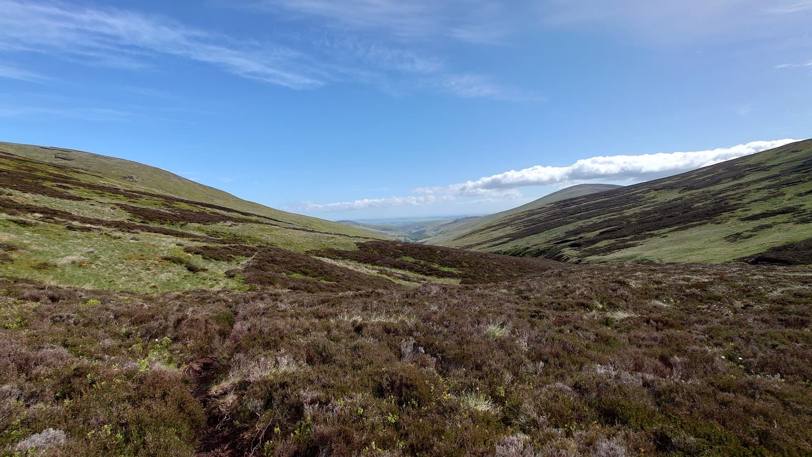
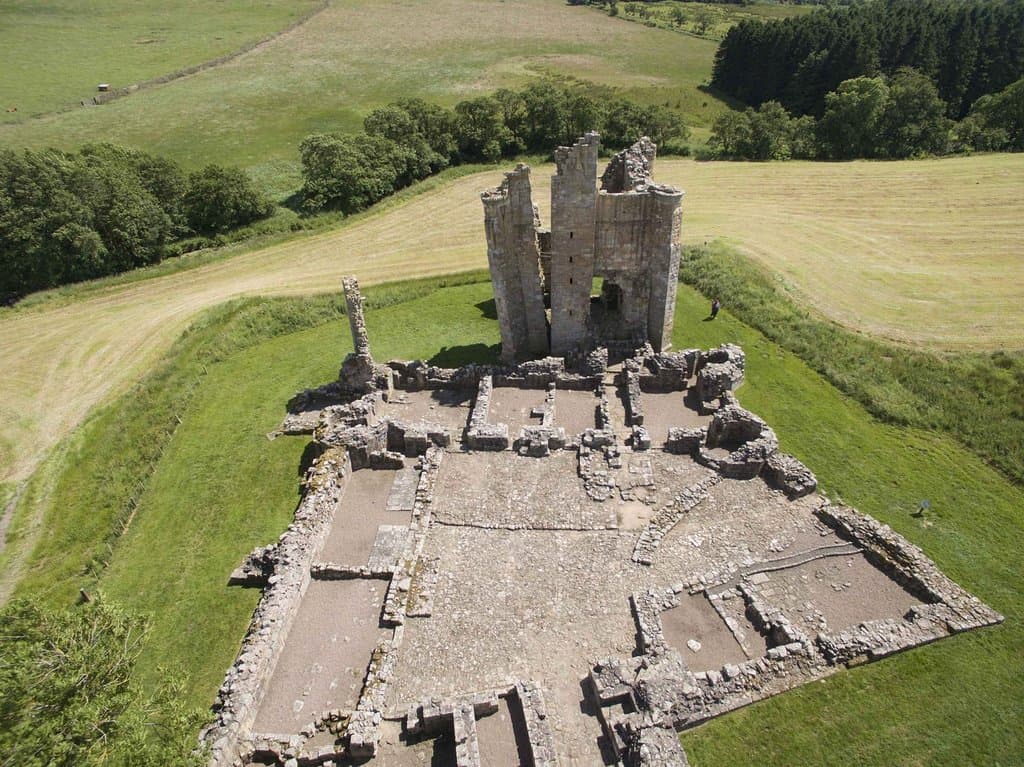
The Cheviot Summit
Northumberland National Park
Stand atop Northumberland's highest point for breathtaking panoramic views stretching for miles.
Hedgehope Hill
Cheviot Hills
Conquer the pyramid-like peak for one of the best summits in the Cheviots with expansive skies.

Langleeford Valley
Start/End point for many walks
Enjoy a scenic descent or ascent through this picturesque valley, following the river.
Plans like a pro.
Thinks like you
Planning Your Visit
Prepare for the Summit Push
Weather and Midges: Be Ready
Best Times
Insider Tips
from TikTok, Instagram & Reddit
Getting to know Northumberland?
🚗 Parking at Langleeford
Limited parking at Langleeford; an adjacent grassy area is an option if not too wet.
🥾 Sturdy Walking Boots
Essential for the boggy terrain and rocky descents. Waterproof boots are highly recommended.
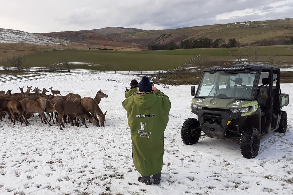
Northumberland and North Pennines
Northumberland...lowest population density in England...just how I like it
💨 Embrace the Breeze
A breeze is your best defense against pesky midges, especially in the evenings.
🗺️ Navigation Skills
While paths exist, good navigation is key, especially in poor visibility. Consider a map and compass.
Tips
from all over the internet
🚗 Parking at Langleeford
Limited parking at Langleeford; an adjacent grassy area is an option if not too wet.
🥾 Sturdy Walking Boots
Essential for the boggy terrain and rocky descents. Waterproof boots are highly recommended.
💨 Embrace the Breeze
A breeze is your best defense against pesky midges, especially in the evenings.
🗺️ Navigation Skills
While paths exist, good navigation is key, especially in poor visibility. Consider a map and compass.
💧 Pack Plenty of Water
There are no facilities on the route, so carry enough water for your entire hike.
What Travellers Say
Reviews Summary
Visitors praise The Cheviot for its challenging yet rewarding hikes, offering stunning panoramic views from its summit and surrounding peaks like Hedgehope. The sense of accomplishment after tackling the horseshoe walk is a major draw, though the terrain can be boggy and the weather unpredictable. Some find the summit itself a bit bland, but the overall experience of wild beauty is highly valued.
"Setting off from Langleeford and heading straight for The Cheviot feels like throwing yourself in at the deep end. The climb is steady but relentless, and you know you’re in for a big day right from the start. The flagged path helps with the boggy stretches near the top, but it’s still a bit of a trudge. That said, reaching the summit so early feels like a win — you’re standing on Northumberland’s highest point, with miles of moorland and rolling hills all around, and you’ve still got most of the horseshoe ahead of you.
From there, the walk takes on more character as you swing round towards Hedgehope. The descent off The Cheviot gives cracking views into the valleys, and Hedgehope’s pyramid-like shape dominates the skyline. The climb up Hedgehope is steep but a real highlight, and the summit is one of the best in the Cheviots — big skies, a sense of space, and on a clear day you can pick out the coastline, the Cheviot Hills rolling away into Scotland, and even the Lake District in the distance.
The route over to Comb Fell is rougher underfoot and famously boggy in parts, but it adds to the wild feel of the walk. Comb Fell itself isn’t the most dramatic summit, but by the time you’ve ticked it off and started the long descent into Langleeford, there’s a real sense of achievement. Dropping back into the valley feels almost cosy after such a wild circuit, and finishing with the river and fields around you is the perfect cool down.
All in all, doing the horseshoe this way round is a proper challenge — a big climb up front, rolling ridges, plenty of bog, and three big summits in one day. Hard work, but hugely rewarding.
Oh yes, there is a rough area for parking at the start, big enough for at least ten vehicles. If it’s full, there is a grassy area beyond it, if it’s not too wet.
Enjoy!"
david howells
"Classed as a Corbett in Scottish terms. More grassy terrain, than granite but it is peat bog based, although flagging has made this easier to deal with.
Parking before Langleeford. Road becomes private.
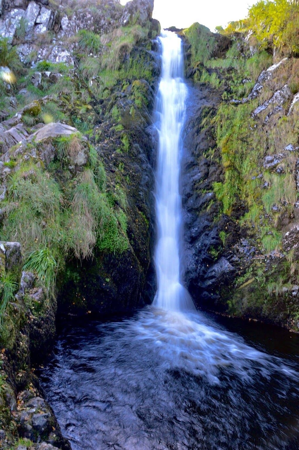
Would recommend the ascent is approached from walking through the valley first - heading for Cairn Hill. This route joins the Pennine Way but is pretty as regards following the river and seeing the small waterfalls. Some lovely spots for packed lunches. The final climb up Cheviot is steep, but not overbearing. Glancing back there are some fine views.
Summit of Cheviot is farely bland but the descent, on the other side, offers fine vistas of the beautiful countryside. Literally, seeing for miles!
Here the descent can be challenging. Steep with a couple of boulderfields but the view more than makes up for the painful knees!
Be aware though; we came down, after 7 pm on a fine summer's night and got devoured by midges! Couldn't escape them until back to our car. Just hope for a breeze. We didn't have one!
Enjoy🤓"
Isabel Jane Cummings
"Beautiful outdoor space on the pennine way. Views were amazing but be prepared for the climb and the weather up there."
Marie Stapleton
What People Like
What People Dislike
Frequently Asked Questions
🚇 🗺️ Getting There
The most common starting point for walks up The Cheviot is Langleeford, which has limited parking. The road becomes private past Langleeford. For those not driving, public transport options are scarce in this remote area, so a car is generally recommended.
Yes, there's a rough parking area before Langleeford, capable of holding about ten vehicles. If this is full, a grassy area nearby can be used, provided it's not too wet.
While The Cheviot Hills extend into Scotland, the main ascents and popular routes, including the highest point, are typically accessed from the Northumberland side in England.
Many recommend approaching The Cheviot by walking through the valley first, heading towards Cairn Hill. This route joins the Pennine Way and offers lovely views along the river before the final steep climb.
While not as common as in more tourist-heavy areas, local walking groups or outdoor activity providers may offer guided walks. It's worth checking local tourism websites or outdoor adventure companies in Northumberland.
🎫 🎫 Tickets & Entry
No, The Cheviot is part of Northumberland National Park and is freely accessible. There are no admission fees to climb the hill or walk in the surrounding Cheviot Hills.
The Cheviot is an open natural landscape and does not have set opening or closing hours. You can visit at any time, though daylight hours are recommended for safety and enjoyment.
No, Northumberland National Park is free to enter. You can explore its vast landscapes, including The Cheviot, without any charge.
Generally, no permits are required for recreational walking in the Cheviot Hills. However, always be aware of any local restrictions or private land access rules.
While not a formal ticketed attraction, you can often find local guides or outdoor adventure companies offering guided hikes in the Cheviot Hills. Booking in advance is usually recommended.
🎫 🧭 Onsite Experience
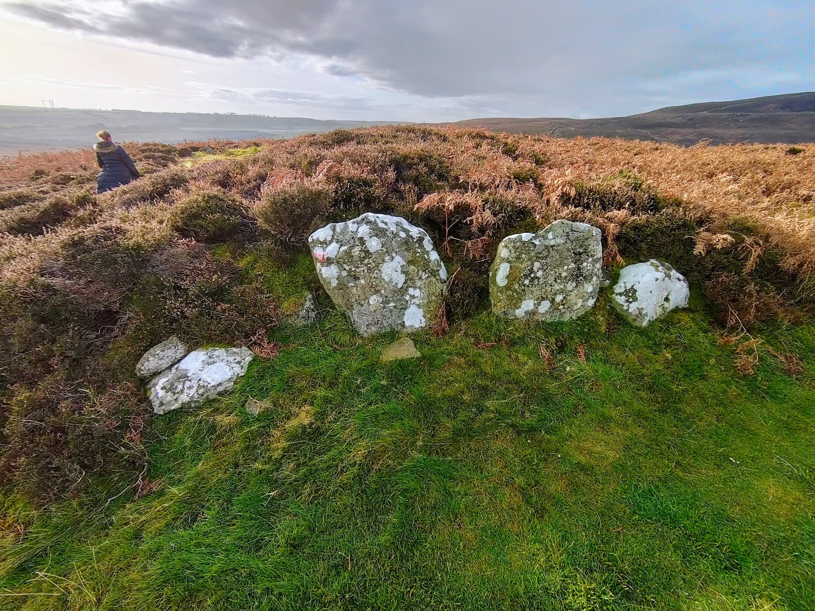
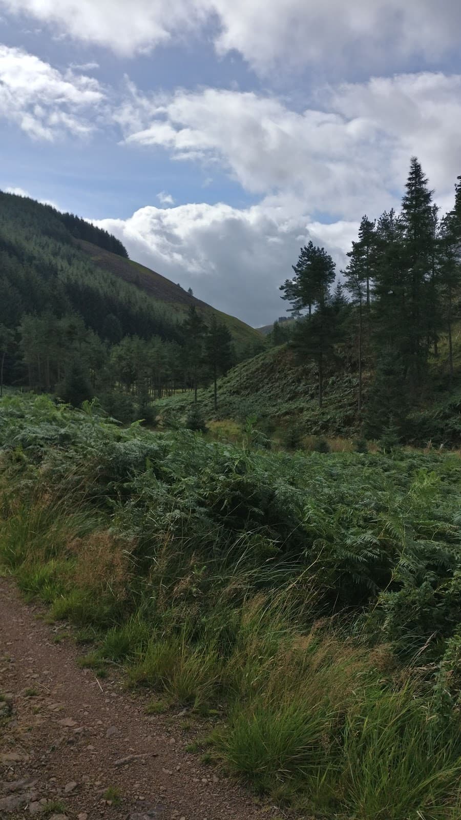
The terrain varies from grassy slopes and peat bogs to flagged paths near the summit. The final climb can be steep, and some descents include boulder fields.
A circular walk from Langleeford, including Hedgehope Hill, is around 12km and can take 4-6 hours depending on your pace and fitness. The ascent itself is steady but relentless.
No, the summit of The Cheviot is a natural landscape with no facilities. You'll need to carry all your food, water, and any other necessities.
On a clear day, expect panoramic views across miles of moorland, rolling hills, the coastline, into Scotland, and potentially even the Lake District. The descent offers fine vistas into the valleys.
A 12km loop including Hedgehope Hill has been done with kids and friends, returning along the river. However, the full horseshoe is a challenging hike, so suitability depends on the children's age and hiking experience.
📸 📸 Photography
The summit offers expansive panoramic views. The descent from The Cheviot provides cracking views into the valleys, and Hedgehope's summit is a highlight for dramatic landscapes. The Langleeford valley itself is also picturesque.
Early mornings or late afternoons often provide the best light for landscape photography, with softer shadows and warmer tones. However, the dramatic skies can be captivating at any time.
A wide-angle lens is great for capturing the vast landscapes. A sturdy tripod can be useful for low-light conditions or capturing long exposures of clouds. Don't forget a waterproof camera bag!
The unpredictable weather can be a challenge, so be prepared for rain and wind. Midges can also be a nuisance, potentially impacting your ability to set up shots.
Yes, on a clear day, the coastline is visible from the summit of The Cheviot, offering a stunning contrast between the rugged hills and the sea.
For Different Travelers
Tailored advice for your travel style
👨👩👧 Families with Kids
🚶 Budget Travelers
📸 Landscape Photographers
Deep Dives
In-depth insights and expert knowledge
The Cheviot Horseshoe Walk
From The Cheviot, the walk swings towards Hedgehope Hill, a pyramid-like peak offering one of the most spectacular summits in the range. The climb up Hedgehope is steep but considered a real highlight, with expansive views that can stretch to the coast, into Scotland, and even the Lake District on a clear day. The route then continues over Comb Fell, which is noted for its rougher, boggy terrain, adding to the wild and remote feel of the hike. The descent back into the Langleeford valley, often following the river, provides a gentle conclusion to a demanding trek.
This circular walk in the Cheviots is a proper challenge, involving significant climbs, rolling ridges, and potentially boggy conditions. It's a full day's adventure, best suited for experienced hikers with good fitness. The sense of achievement upon completing the horseshoe is immense, making the hard work entirely worthwhile.
Navigating The Cheviot's Terrain and Weather
Weather is a significant factor when planning a trip to The Cheviot. It's renowned for its changeable conditions; you can experience wind, rain, and sunshine all within a single day. Visibility can drop rapidly, making navigation crucial. Carrying a map and compass, and knowing how to use them, is highly recommended, even for experienced walkers. The exposed nature of the summit means it can feel much colder than the surrounding valleys.
One particular nuisance to be aware of, especially during calm summer evenings after 7 pm, is the presence of midges. These tiny biting insects can swarm and make the experience very uncomfortable if there isn't a breeze. Hikers have reported being 'devoured' by midges until they returned to their cars. Therefore, checking the forecast for wind speed is advisable, and carrying midge repellent might be a wise precaution.

Social
from TikTok, Instagram & Reddit