Mount Inerie
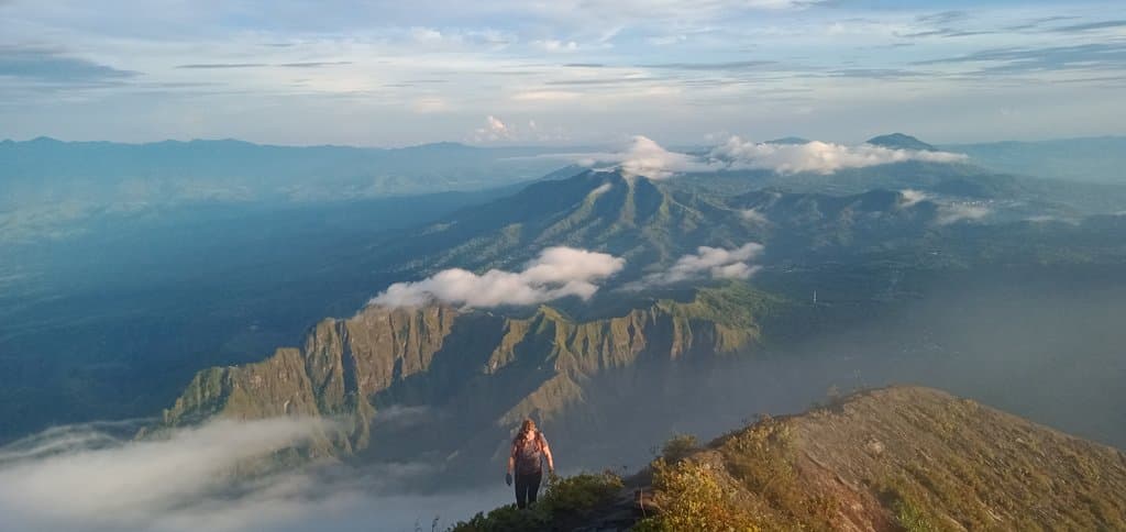
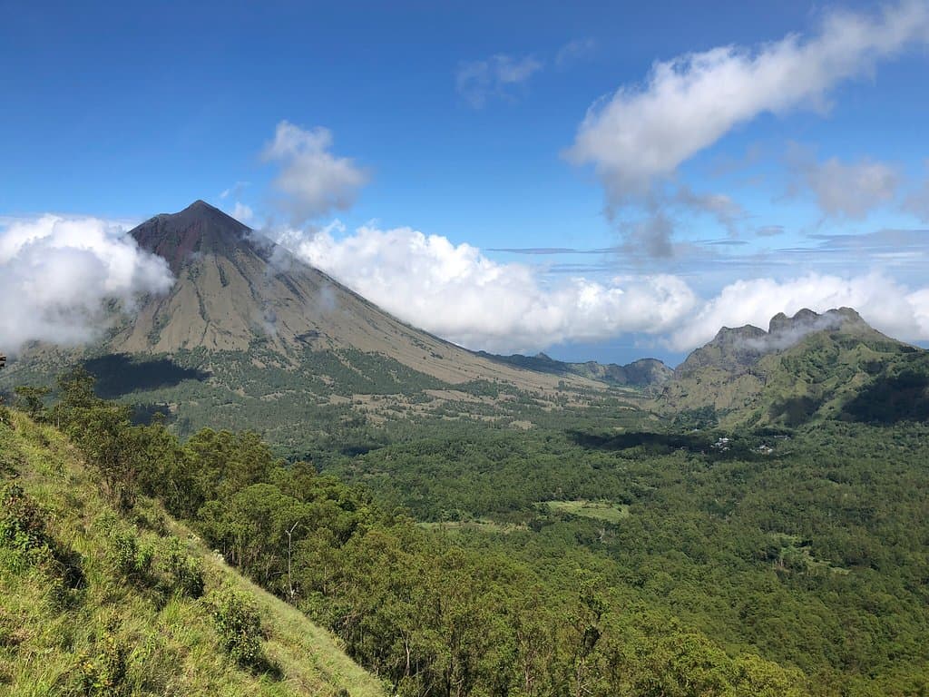
An active volcano offering a challenging trek to a crater summit with breathtaking panoramic views of Flores Island.
Highlights
Must-see attractions

Social
From TikTok & Reddit
Best Time
Easier navigation
Mount Inerie
Best Time
Easier navigation
Highlights
Must-see attractions
An active volcano offering a challenging trek to a crater summit with breathtaking panoramic views of Flores Island.
"This is Mount Inerie. Inerie which "Ine" in the language of Ngada-Nagekeo major tribe in Flores Island means "mother"."
Consider a Local Guide
Essential for safety, especially for sunrise/sunset hikes or if you're unsure of the route.
Wear Long Pants
Crucial for protecting your legs from scrapes on loose rocks and scree.
Quick Facts
Rating
4.7 · 219 reviews
Type
Natural Feature
Highlights
Discover the most iconic attractions and experiences
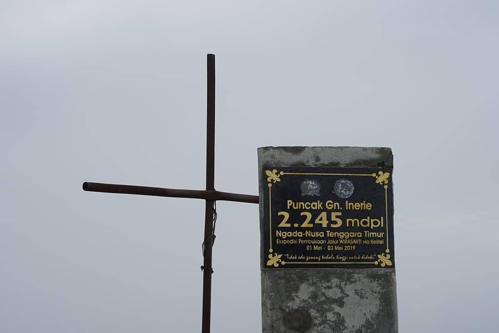
Volcanic Crater Summit
Peak of Mount Inerie
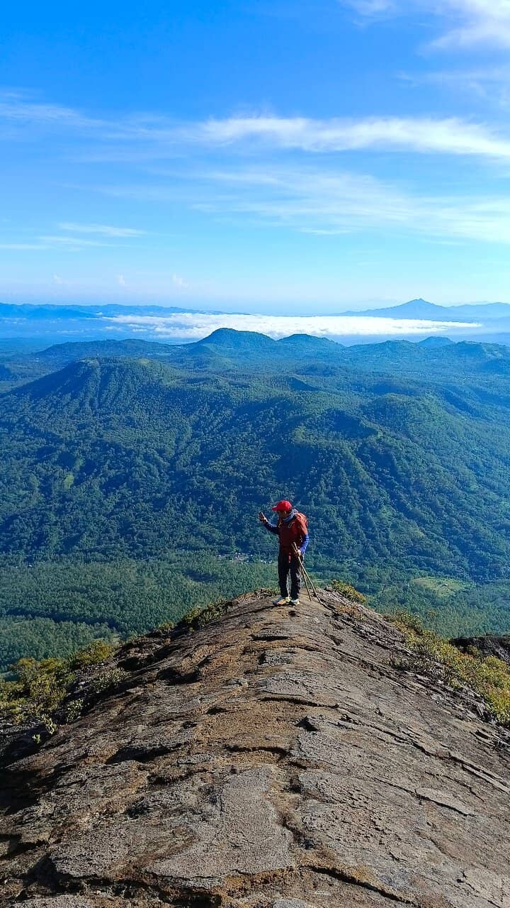
Stand at the edge of an expansive crater, a testament to the volcano's power. Breathtaking panoramic views await.
Steep & Challenging Trails
Ascent path
Experience the thrill of navigating steep, slippery terrain and loose scree. An adventure for the physically fit.
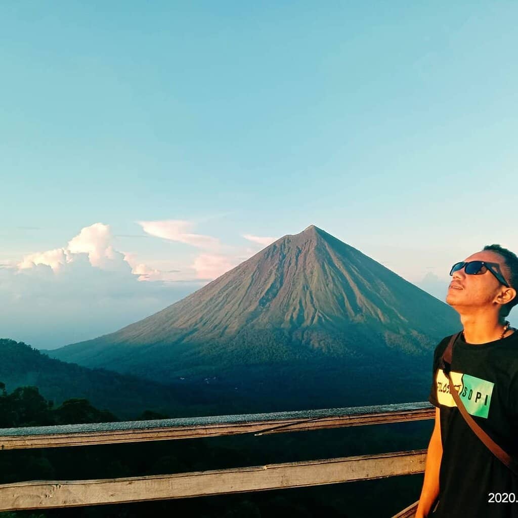
Sunrise/Sunset Vistas
Summit
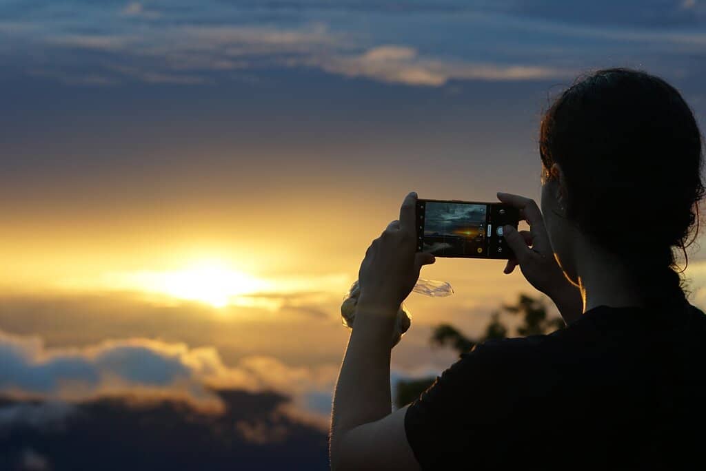
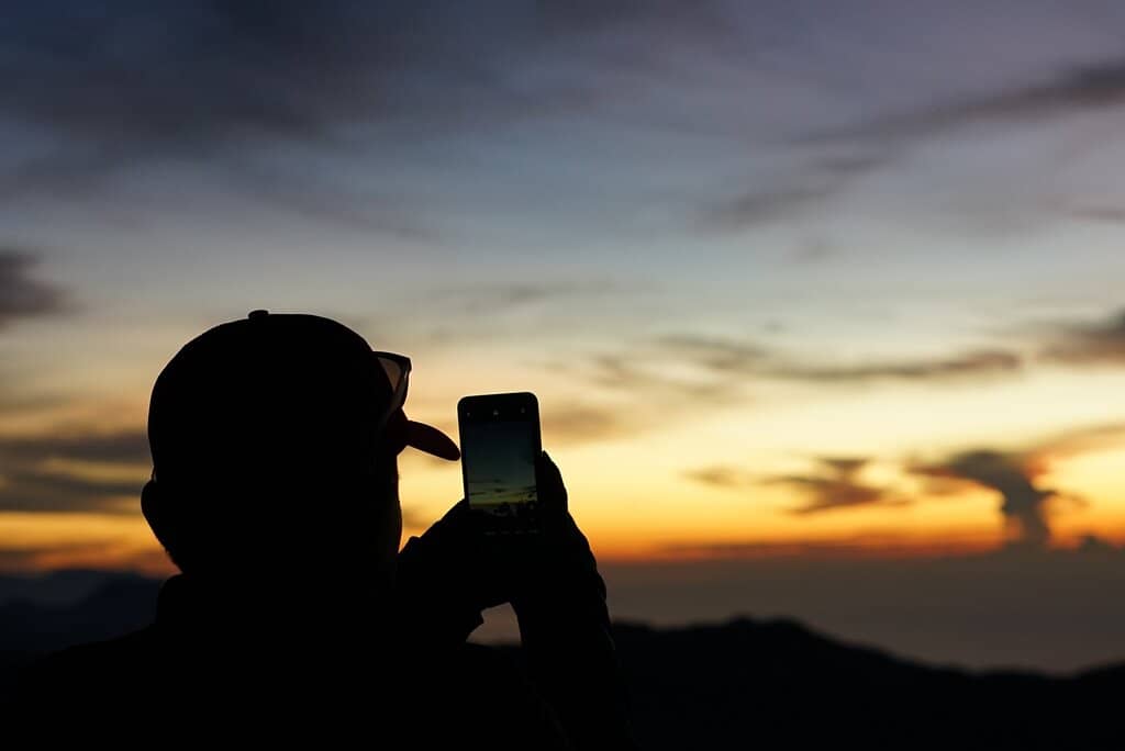
Witness the magical glow of sunrise or sunset painting the sky from this incredible vantage point. Requires night hiking.
Plans like a pro.
Thinks like you
Planning Your Visit
Tackle Mount Inerie: A Challenging Ascent
Navigation & Safety on Mount Inerie
Best Times
Insider Tips
from TikTok, Instagram & Reddit
Consider a Local Guide
Essential for safety, especially for sunrise/sunset hikes or if you're unsure of the route.
Wear Long Pants
Crucial for protecting your legs from scrapes on loose rocks and scree.
Use GPS Navigation
Helps immensely in finding the path and staying on track, especially in unclear sections.
Descend via Scree
For a fun and potentially safer descent, 'ski' down the red scree to the left.
Tips
from all over the internet
Consider a Local Guide
Essential for safety, especially for sunrise/sunset hikes or if you're unsure of the route.
Wear Long Pants
Crucial for protecting your legs from scrapes on loose rocks and scree.
Use GPS Navigation
Helps immensely in finding the path and staying on track, especially in unclear sections.
Descend via Scree
For a fun and potentially safer descent, 'ski' down the red scree to the left.
Sturdy Footwear is Key
Good grip is vital for the loose and slippery terrain.
What Travellers Say
Reviews Summary
Mount Inerie is a highly rewarding but demanding hike, praised for its stunning summit views and challenging terrain. While some find it manageable with good fitness, others highlight the steep, slippery, and loose paths as a significant hazard, especially in wet conditions. Hiring a guide is strongly advised for safety and navigation, particularly for sunrise or sunset ascents.
"Great hike for capable adventure seekers. We did it after sunrise without a guide in 2:45h up and 2h down. Be careful. This is not an easy hike. While it only requires moderate fitness it involves navigating steep slippery terrain without a clearly defined path and should not be done by anyone not comfortable with that. There is a high chance of slipping and getting cuts.
For somewhat experienced hikers it is definitely possible to do it without a guide during the daylight but with a guide it is probably less sketchy and safer. I belive ascent during the night without a guide should only be attempted by very experienced hikers. GPS definitely helps clearing doubts whether you are still on the correct path.
Once you enter the dirt road from the main street, drive up the steep track to the houses on the right. There is a payed dedicated parking area. The start of the track is quite hidden behind the two houses. Later on the trail after you exit the forest at the fork keep left (path to the right leeds into scree) and keep the same elevation until you cross the crevasse (there are paths going uphill but the crossings there are quite washed out). From there follow the semi-defined path to the top. On the way down I can highly recommend going into the red scree to the left (in downhill direction) of where you ascended and "skiing" it all the way down. It feels a lot safer then the rocky part with the loose rocks and was probably the most fun I ever had during a descent!"
Jas Tech (JasTech)
"Loved the hike a lot even though the weather at the top was cloudy. Went by myself, I believe it is totally doable if you have some experience. The begging is hard to find (i used the help of another review and a local) and the rest is straightforward, I used mapy.com for navigation.
I do recommend taking a guide for those who want to see sunset and walk in the dark.
Expect a hard 2-3 hour walk uphill with a 1100 meters of elevation that some of it is on loose ground.
Long pants are very recommended"
Amit Bin-Nun
"This is a great hike for those capable of doing it. A guide won't change your experience the route is straightforward. I will stress that this is an advanced level hike and don't just assume you can do it with no experience. The first half of the hike is along semi defined trail and ravines. The second half is a scramble up loose rock, sand, and ravine with almost nothing to hold on to. My partner and I climbed Rinjani and found this more difficult."
Aaron Wende
What People Like
What People Dislike
Frequently Asked Questions
🚇 🗺️ Getting There
The trailhead is typically accessed from Watumeze, Tiworiwu Village, Jerebu'u District. Drive up a steep dirt track from the main street to houses on the right, where a paid parking area is available. The start of the track is hidden behind these houses.
Information on direct public transport to the trailhead is scarce. It's generally recommended to arrange private transport or a motorbike taxi to reach the starting point.
The nearest major town with an airport is Bajawa. From Bajawa, you can hire a car or motorbike to reach the Inerie district.
Unfortunately, the hiking route is not well-managed, and there are no signs indicating the path, rest areas, or safety features.
The most common hiking route begins from Watumeze, Tiworiwu Village. Other access points might exist but are less documented.
🎫 🎫 Tickets & Entry
There is a paid parking area at the trailhead. While there isn't a formal entrance fee for the hike itself, it's wise to be prepared for potential local community contributions or fees.
Mount Inerie is generally accessible at any time, but hiking during daylight hours is strongly recommended for safety. Sunrise and sunset hikes are popular but require night hiking.
While not strictly mandatory for experienced hikers during daylight, hiring a local guide is highly recommended for safety, navigation, and a richer experience.
Guide fees can vary, but it's advisable to negotiate a fair price beforehand. Expect to pay a reasonable amount for their expertise and safety assurance.
It's possible to arrange guides through local accommodations or tourism offices in nearby towns like Bajawa. Last-minute arrangements at the trailhead might also be possible.
🎫 🧭 Onsite Experience
The ascent typically takes 2-3 hours, with the descent also taking around 2 hours. This can vary based on fitness and trail conditions.
Mount Inerie is considered an advanced-level hike. It involves steep, slippery terrain, loose rocks, and scree, making it more challenging than many other hikes.
Pack plenty of water, snacks, a first-aid kit, a headlamp (for night hikes), sturdy hiking boots, and long pants. A GPS device or app is also highly recommended.
There are no facilities or water sources on the trail. You must carry all the water you will need for the entire hike.
From the summit, you can enjoy panoramic views of the surrounding landscape, including other volcanoes and the vast expanse of Flores Island. The views are stunning, especially during clear weather.
📸 📸 Photography
Sunrise and sunset offer the most dramatic lighting for photography. However, clear daylight hours provide excellent visibility for capturing the expansive landscapes.
A wide-angle lens is great for capturing the panoramic views. A sturdy tripod can be useful for low-light conditions during sunrise/sunset. Ensure your gear is protected from dust and potential moisture.
The summit crater rim offers incredible perspectives. The challenging ascent itself provides dramatic shots of the terrain. The surrounding landscape viewed from various points on the trail is also photogenic.
Use foreground elements to create a sense of depth and scale. Shooting from a lower angle can emphasize the steep incline. Including a person in the frame can also help convey the challenge.
The terrain is challenging, making it difficult to set up shots. Weather can change rapidly, affecting light conditions. Dust and loose rocks can also be a concern for camera equipment.
Social
from TikTok, Instagram & Reddit